
The Chattahoochee-Oconee National Forest has reopened select trails and dispersed recreation areas for public use according to reports issued by the United States Department of Agriculture (USDA).
The changes took place May 7.
“Recreating on the Chattahoochee-Oconee National Forests is an activity individuals and families look forward to experiencing every summer,” said Edward Hunter, Chattahoochee-Oconee National Forests’ acting forest supervisor, in a statement. “We are working with local communities on phased plans to reopen additional sites and facilities as soon as this can be accomplished safely.”
The USDA had closed down much of the Chattahoochee-Oconee National Forest’s trails, parking areas, restrooms, camping areas and other group recreational sites due to concerns about the spread of the coronavirus in March.
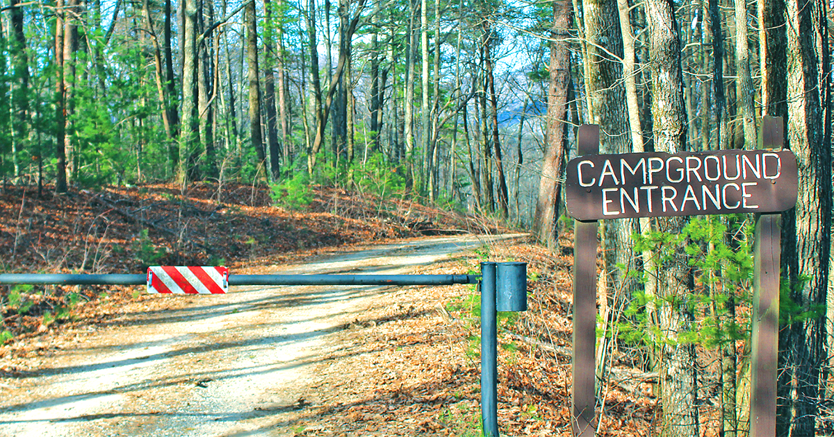
The areas that have been reopened include the Dicks and Waters Creek camping corridor, the Forest Service Road (FSR) 42 dispersed camping corridor, FSR 58 and Noontootla Road dispersed camping, FSR 28-2 Nimblewill Road dispersed camping, FSR 69 and Rock Creek Road dispersed camping, Padena Road dispersed camping, the Fruitkoff dispersed camping area, dispersed camping at Bull Mountain, dispersed camping at Jake Mountain, the Lake Chatuge boat ramp, the Aska trails, the Benton MacKaye trail (from Weaver Creek to Highway 60), the Duncan Ridge trail (from Benton MacKaye trail intersection to Wolfpen Gap), the Coosa Backcountry trail (from Vogel State Park to Duncan Ridge trail), the Helton Creek Falls trail, the Hemlock Falls trail, trailhead and parking area, the Minnehaha Falls trail and trailhead, the Angel Falls trail and the Keown Falls trail and trailhead.
STILL CLOSED
Areas still affected by temporary closures by the USDA include all national forest developed campgrounds, group recreation sites, picnic pavilions and all restrooms; Appalachian Trail in Georgia trailheads at Dicks Creek Gap, Hogpen Gap, Neels Gap, Springer Mountain, Tesnatee Gap, Unicoi Gap and Woody Gap; trails and associated trailheads providing access to the Appalachian Trail including Andrews Cove, segments of Benton MacKaye trail (from Fall Branch Falls to Springer Mountain), Byron Herbert Reece Memorial trail, Duncan Ridge trail, Dockery Lake trail, Freeman Trail, Jack Knob trail, Jarrard Gap trail, Logan Turnpike trail, Long Creek Falls trail, Slaughter Creek trail and Springer Mountain trail; Deep Hole recreation area, Toccoa River Sandy Bottoms recreation area, Dukes Creek Falls recreation area, Sea Creek Falls trail, Panther Creek recreation area, Raven Cliffs trailhead, Mount Yonah trailhead, Indian Grave Gap Road (FSR 283), Beasley Knob OHV trails. Davenport Mountain OHV trails, Whissenhunt OHV trails, White Oak Gap Road (FSR 244) and Smith Creek Trail.
Although certain trails and dispersed recreation areas have been reopened, the USDA is urging visitors to the areas to remember to avoid congregating at trailheads and parking areas and to refrain from gathering in groups of 10 or more in order to maintain social distancing guidelines.
For maps and a list of affected recreation sites, visit: www.fs.usda.gov/recmain/conf/recreation.