
Explore the Etowah River Trail
Ready for a true outdoor adventure? Regardless of your experience level, exploring the Etowah River through Dawson County is a great way to spend a day, a weekend or more.
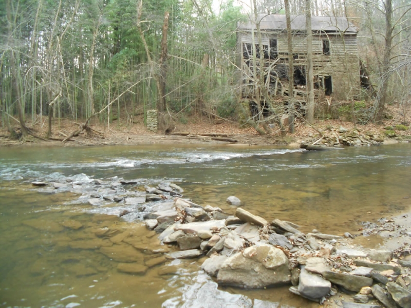
The 163-mile long Etowah River Trail travels through North Georgia, providing a course through "one of the state’s most historically significant and one of the nation’s most biologically diverse rivers," according to etowahwatertrail.org.
Joe Cook, advocacy and communication coordinator with Coosa River Basin Initiative, is author of the Georgia River Network book, "Etowah River User's Guide."
Cook says, in Georgia’s mountain region (Lumpkin, Dawson, Forsyth and Cherokee counties), a good place to start your Etowah River adventure is Appalachian Outfitters in Dahlonega and Outside World in Dawsonville.

The Dawson Forest paddle is a good place to start from state Route 9 to Kelly Bridge Road.
"It's a 9-mile paddle that is relatively easy with one small rapid that can be portaged if you don't want to run it," Cook said. "Appalachian Outfitters runs regular trips on this section of river. This is a good introduction to the Etowah."
Another good introduction to the Etowah is to start at Forsyth County's Eagle's Beak Park and paddle to McGraw Ford Wildlife Management Area at Conn's Creek. There is now a take out at the mouth of Conns Creek within the WMA.
"This is another 9-mile trip with some beautiful shoals and lots of history," Cook said.
The whitewater section of the river is from state Route 9 to Castleberry Bridge for those with experience paddling whitewater. Multi-day trips can be made using Dawson Forest and McGraw Ford WMAs as campsites.
The sections upstream of state Route 9 south of Dawsonville (between Castleberry Bridge and state Route 9) can be filled with strainers (trees that have fallen across the river) so beginning paddlers would probably want to avoid those sections, Cook said.
With the exception of the upper reaches of the river (Hightower and Etowah Falls sections), the river is rated as a Class I river with flatwater interrupted occasionally by small shoals and rapids and is suitable for novice paddlers.
The river passes through three state wildlife management areas —Dawson Forest, McGraw Ford and Allatoona —as well as the Chattahoochee National Forest and numerous local parks.
To plan a trip on the Etowah River Water Trail, visit etowahwatertrail.org. An interactive map on the website includes put-in/take-out sites, points of interest, campgrounds and more.